


This wide, 14.5 mile in and out route takes you from Persimmon Valley Road north to Tate City and the North Carolina border. Along the way are hiking trails, the Tate City Mall and some incredible beauty.
Take U. S. Highway 76 west from Clayton (Rabun County) for 8 miles to Persimmon Road. Turn right and travel four miles to Tallulah Road (F.S. 70) on left.
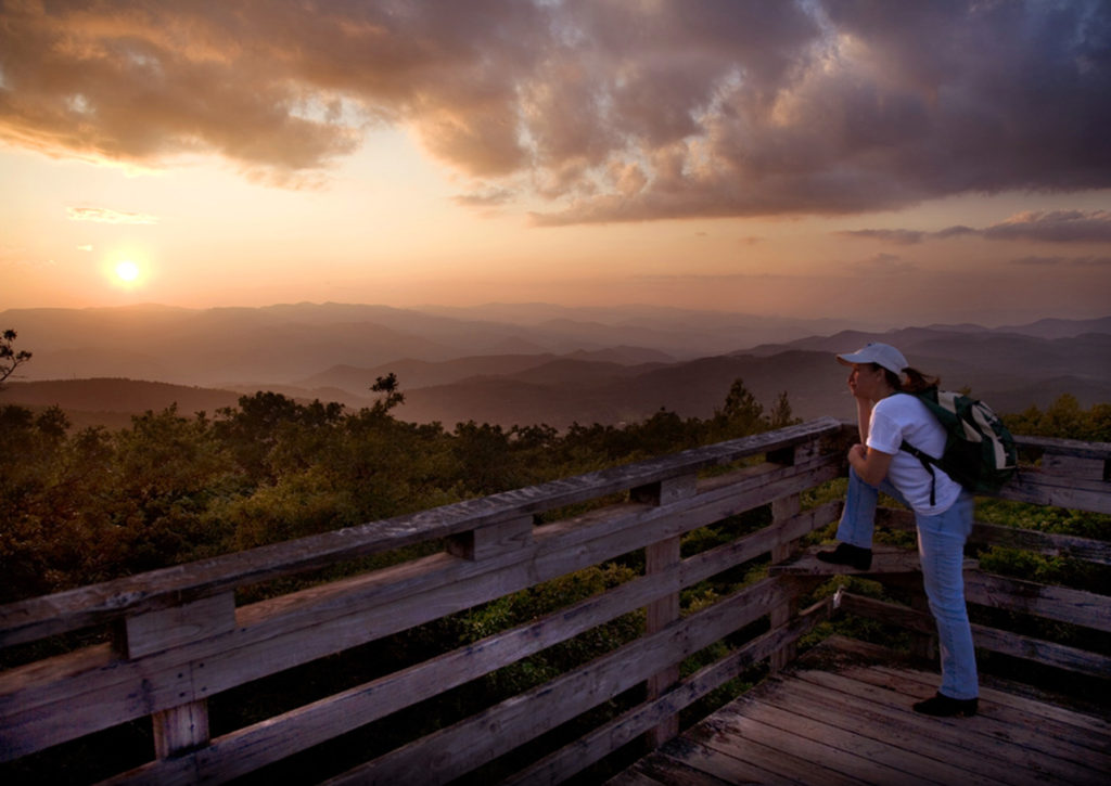
The Tallulah River Road, which continues north over the bridge is one of the finest scenic drives in the state. It continues north to Tate City, a mining and lumber town that died out in the 1920’s. When you return to Persimmons Valley Road you can turn right. The road continues to Patterson Gap, a beautiful, but little known area of Rabun County. This then comes out on Highway 441 north of Dillard.
Road offers Scenic Drive along Tallulah River. Road turns into single lane with turnouts and goes to Tate City.
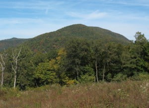
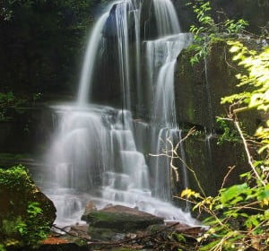
[FS 70 to Fig. 35(17)] This drive up the Tallulah’s upper gorge is spectacular. It begins at the bridge over the Coleman River. At this bridge is the trailhead for an exciting, short (less than a mile) trail up the gorge of the Coleman River through the Coleman River Scenic Area [Fig. 35(44)], described on a sign just north of the bridge. FS 70 dead-ends in the heart of the Southern Nantahala Wilderness. The major access point for the Tallulah River basin, FS 70 follows beside the Tallulah through the 3-mile-long Rock Mountain Gorge [Fig. 35(43, 41)], on the old railroad bed, which was blasted out of solid rock by the lumber company logging the valley in virgin timber days. This lovely road crosses the Tallulah four times. The picturesque gorge has been the site of television commercials and postcard vistas. One can picnic on the rocks or fish the pools stocked weekly with eating-size rainbow trout. In the gorge grow a number of the beautiful and rare flowering tree, the mountain camellia, or Stewartia, which blooms in June and July. The best place to see the tree is in a stand at a wide place in the road at the extreme southern end of the Tate Branch Campground [Fig. 35(39)]. At Line Branch, one can look back, high up at the Flat Branch Falls [Fig. 35(42)]. Just below the Tate Branch Campground, Charlie’s Creek Road fords the river. When this road emerges on a flat near the AT, a north-turning fork [Fig. 35(36)] leads one to the main Charlie’s Creek. Across the creek and up the road a few hundred yards, there is a trail up to an amethyst mine [Fig. 35(34)] that has produced some of the finest gem amethysts in the United States.
Business Information
Take U. S. Highway 76 west from Clayton (Rabun County) for 8 miles to Persimmon Road. Turn right and travel four miles to Tallulah Road (F.S. 70) on left.